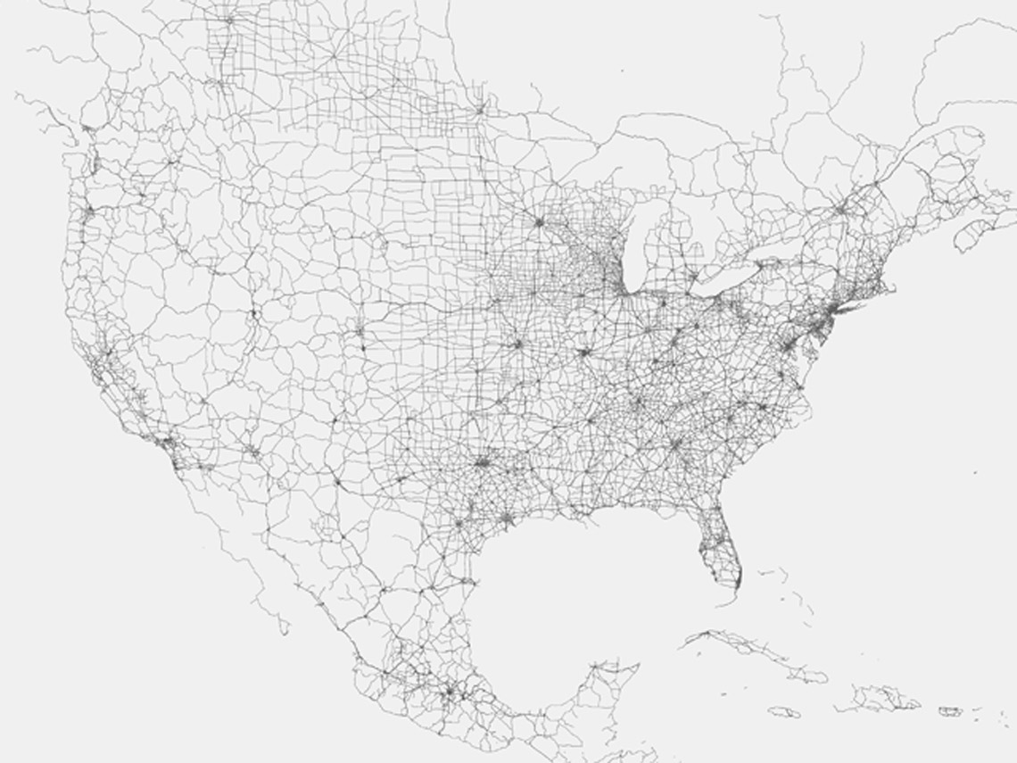
North American road networks show lighter density differences in parts of the midwest, Mexico and Canada.
Atlas of the Road 2018
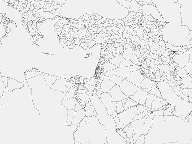
This map shows all major roads in the world known according to Mapbox, a popular geo-mapping platform.
The visualization of this one piece of critical infrastructure reveals a unique cartography suggestive of regional economic development trends. It also highglights the interconnectedness of urban settlements and how rarely they help define national borders.
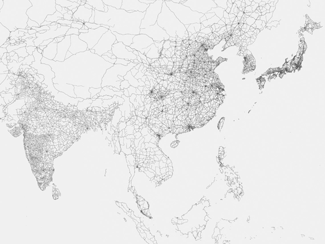
In southeast Asia, higher road density is also correlated to the bigger economies of China, Japan, South Korea and India.
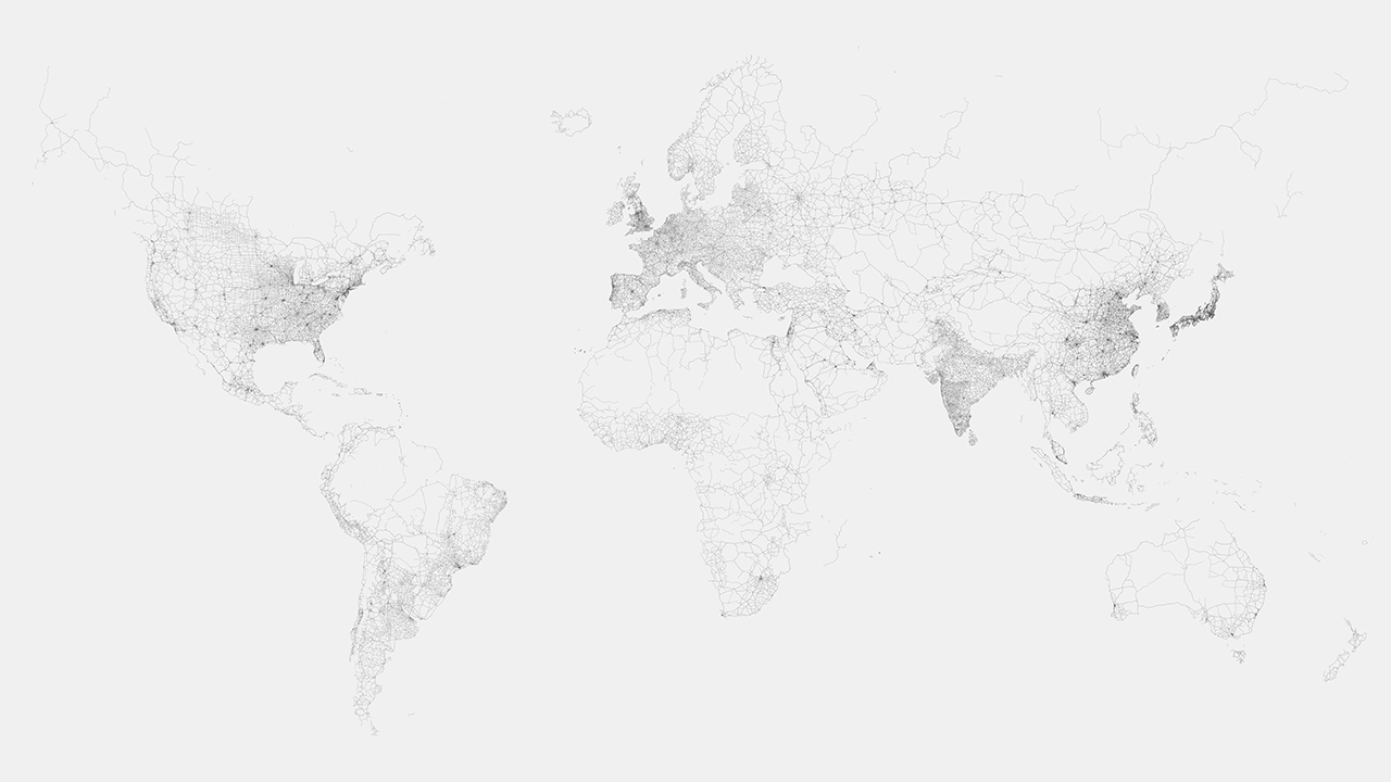
Global map of roads shows how vast parts of the planet have very few of them still.
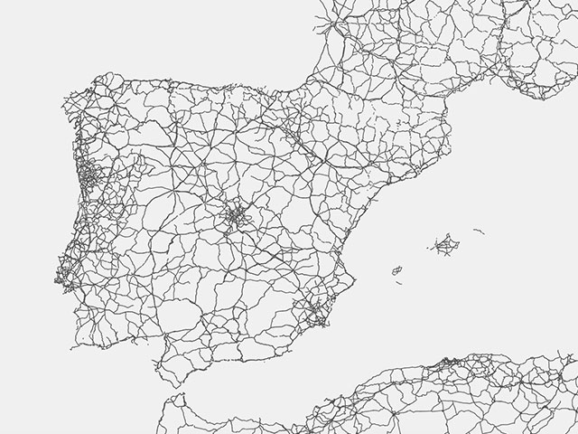
Madrid resembles the hub at the center of Spain's road networks.
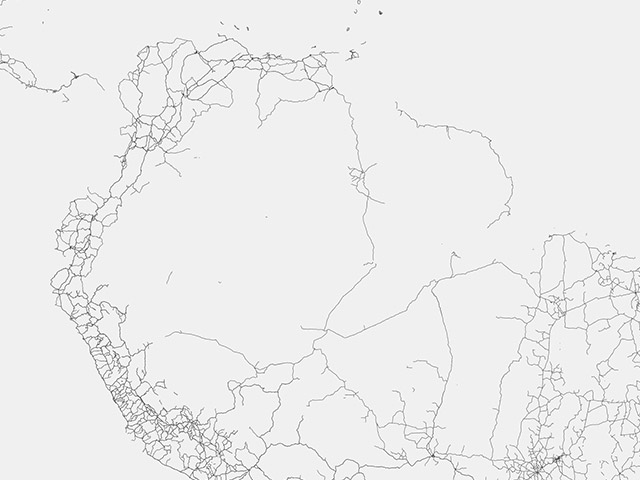
In South America, roads appear mostly around the perimeter of the continent.
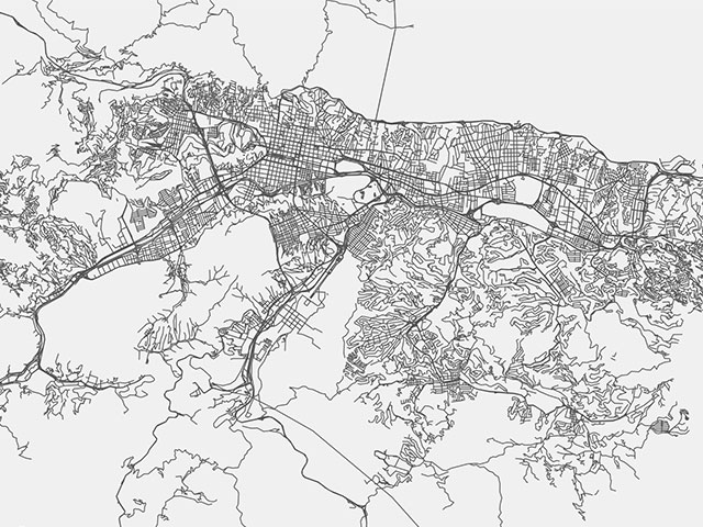
Detail of Caracas, where a major highway runs parallel to a river.
